Platte Falls Conservation Area West
Boat rampFreeKayak launch
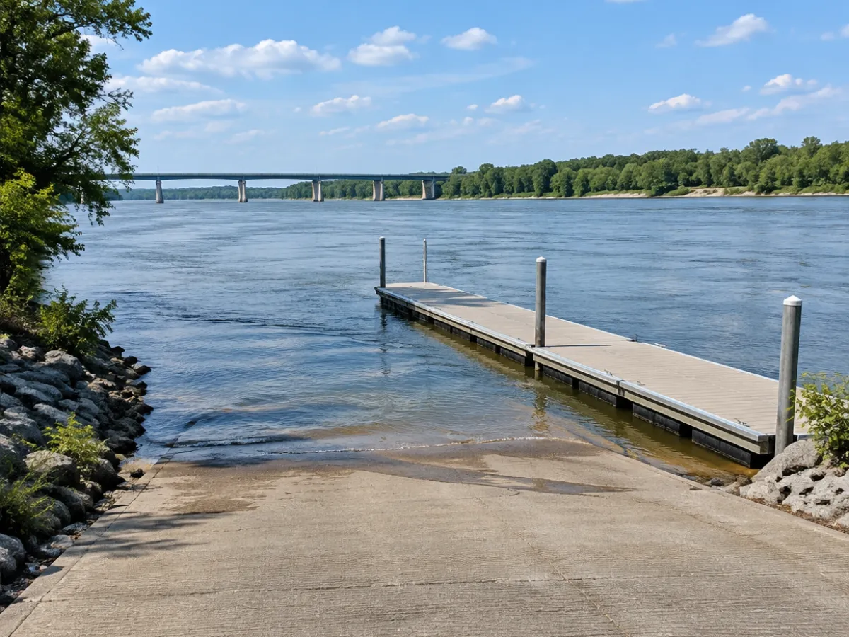
You'll find Platte Falls Conservation Area West on Platte River in Platte City. It's a public boat ramp. Platte Falls Conservation Area West charges no fee, according to the map data. Paddlers use it as well. It's about 20 miles from Kansas City, KS, as the crow flies. The next public ramp is Platte Falls Conservation Area East in Platte City, about under 1 mile away.
Launch details | Type | Kayak and canoe launch |
|---|
| Address | Platte City, MO |
|---|
| Water | Platte River |
|---|
| Surface | concrete |
|---|
| Launch fee | free |
|---|
About Platte Falls Conservation Area West
How do I get to Platte Falls Conservation Area West?
Platte Falls Conservation Area West is in Platte City, Missouri. Open the map link to see where Platte Falls Conservation Area West sits on the shore.
What water is Platte Falls Conservation Area West on?
It gives you access to Platte River.
Is there a fee at Platte Falls Conservation Area West?
Platte Falls Conservation Area West is marked as free in the map data, though rules can change, so look at the signs when you arrive.
Can paddlers use Platte Falls Conservation Area West?
Yes, kayaks and canoes can put in at Platte Falls Conservation Area West.
What other boat launches are near Platte Falls Conservation Area West?
Platte Falls Conservation Area East in Platte City (under 1 mile), Sharps Station Access in Platte City (2.9 miles) and Tobacco Hills Lake in Platte City (3.1 miles).
 Boat Ramps Nearby