Missouri Department of Conservation Boat Ramp (East 2)
Boat rampFreeKayak launch
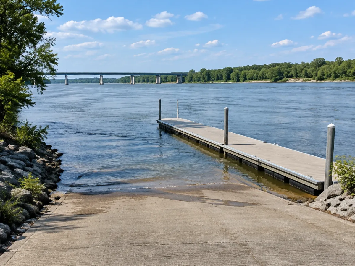
Missouri Department of Conservation Boat Ramp (East 2) gives you public access to the water on Nodaway River in Mound City, MO. There's no launch fee according to the map data. With 2 lanes, the line moves faster than at a single ramp. Kayaks and canoes can launch here too. Kansas City is the nearest big city, about 72 miles away. If it's full, Missouri Department of Conservation Boat Ramp (East) in Mound City is 2.2 miles away.
Launch details | Type | Kayak and canoe launch |
|---|
| Address | Mound City, MO |
|---|
| Water | Nodaway River |
|---|
| Ramps | 2 launch lanes in the map data |
|---|
| Surface | gravel |
|---|
| Launch fee | free |
|---|
| Managed by | Missouri Department of Conservation |
|---|
About Missouri Department of Conservation Boat Ramp (East 2)
How do I get to Missouri Department of Conservation Boat Ramp (East 2)?
Missouri Department of Conservation Boat Ramp (East 2) is in Mound City, Missouri. We have no street address for Missouri Department of Conservation Boat Ramp (East 2), only its exact position on the map.
What water is Missouri Department of Conservation Boat Ramp (East 2) on?
Missouri Department of Conservation Boat Ramp (East 2) is on Nodaway River.
Is there a fee at Missouri Department of Conservation Boat Ramp (East 2)?
According to the map data there is no fee at Missouri Department of Conservation Boat Ramp (East 2).
Can paddlers use Missouri Department of Conservation Boat Ramp (East 2)?
It's marked as kayak-friendly. Load at the side and leave the lane free.
Who manages Missouri Department of Conservation Boat Ramp (East 2)?
Missouri Department of Conservation, according to the map data. Contact them for closures, fees and rules.
What other boat launches are near Missouri Department of Conservation Boat Ramp (East 2)?
Missouri Department of Conservation Boat Ramp (East) in Mound City (2.2 miles) and Big Lake Boat Ramp in Mound City (14 miles).
 Boat Ramps Nearby