Boat Ramps Nearby

NOAA - NMFS

Boat ramp

NOAA - NMFS gives you public access to the water in Panama City, FL. With 2 lanes, the line moves faster than at a single ramp. If it's full, Saint Andrews State Park Boat Ramp in Panama City is 1.6 miles away.

Launch details
TypePublic boat ramp
AddressPanama City, FL
Ramps2 launch lanes in the map data
Launch feenot in our data, check the signs at the launch

Good to know for NOAA - NMFS

Read more: How to launch a boat from a trailer, plus ramp etiquette.

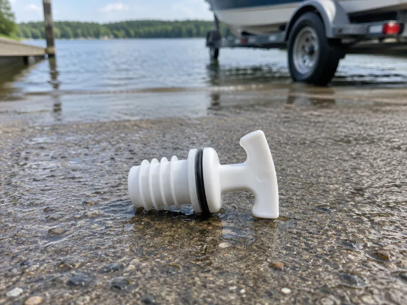
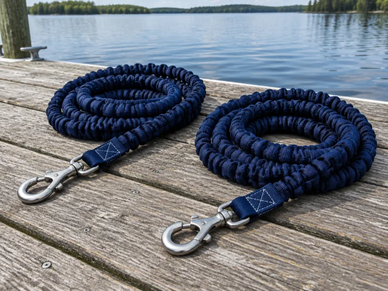
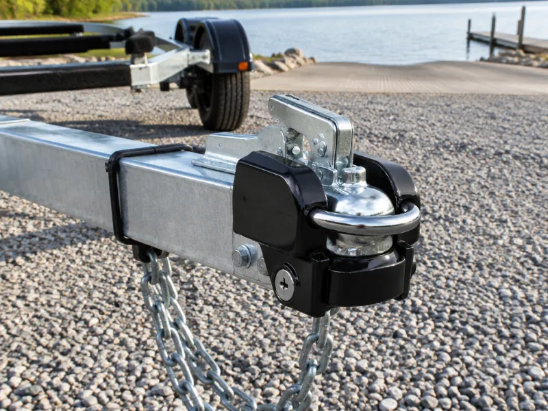
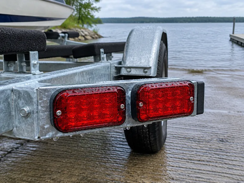
Small things for ramp day

We haven't tested these ourselves; we chose them by size and specs. As an Amazon Associate we earn from qualifying purchases, at no extra cost to you. Check the current price on Amazon.

Reviews

No ratings so far, so tell us how the ramp, the parking and the water were.

Rate this launch

Your rating

By submitting you agree to our review guidelines. Reviews are checked for spam automatically, but we cannot verify that you actually visited.

About NOAA - NMFS

What is the address of NOAA - NMFS?

NOAA - NMFS is in Panama City, Florida. We only have the map location of NOAA - NMFS from OpenStreetMap, and the directions link goes straight to it.

Is NOAA - NMFS free?

We have no fee details for NOAA - NMFS, but our guide to launch fees explains what ramps usually cost.

Can paddlers use NOAA - NMFS?

Usually yes, as long as you keep the lane at NOAA - NMFS clear for trailers.

Where else can you launch near NOAA - NMFS?

Saint Andrews State Park Boat Ramp in Panama City (1.6 miles), West Hathaway Bridge Boat Ramp in Panama City (3.4 miles) and Snug Harbor Public Boat Launch Boat Ramp in Panama City (4.6 miles).

More boat ramps nearby

Report an error or a closed launch